Project RIDER
Primary Project Initiatives
Project RIDER is working to achieve a better transportation experience for all on the University of Michigan campus. See our detailed explanations of our current objectives below. If you're interested in learning more or getting involved on anything specific, please contact us.
Community Engagement & Feedback
Transportation at the University of Michigan is already successfully serving thousands of riders every day. From getting students to class, to shuttling staff and faculty to different facilities, thousands rely on the extensive system of buses; networks of bicycle and pedestrian infrastructure; and the links between these systems of mobility. In Ann Arbor, multiple different agencies play key roles in this process of mobility. Project RIDER is working to engage key stakeholders from the University of Michigan, City of Ann Arbor, Ann Arbor Area Transit Authority, and third party mobility providers to ensure the needs of students, residents and commuters are met while working toward sustainable and equitable transportation development.
As the University begins implementation of their ambitious and exciting 2050 vision plan, and TheRide is working on their 2045 long range plan, the community of current and future riders must be consulted throughout the design and construction process of the proposed systems of mobility. It goes without saying that these two plans could compliment each other perfectly if given the opportunity to collaborate. Project RIDER is aiming to help the University and the AATA gain key insights from the community that they deem as helpful to their implementation of the master plans, enabling informed design decisions that will positively impact all users. Additionally, through engagement events, Project RIDER plans to allow user groups the opportunity to ask questions of invited representatives from the university, city and transportation authority about future plans and construction.

Improved CCTC Design & Experience
The Central Campus Transit Center is one of the most used transit hubs in all of Washtenaw County, with over 10 bus lines servicing the stop. Despite this, the station is lacking critical amenities and safety features, leading to poor user experience. Project RIDER is studying potential rider experience improvements to pitch to the University during the implementation of their 2050 vision plan at the CCTC and other stations.
These improvements may include:
• Heaters inside of bus shelters
• Improved wayfinding and digital signage
• Pedestrian safety improvements at crosswalks
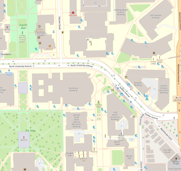
As both the University of Michigan and the city of Ann Arbor work toward a more sustainable future in all aspects of their operations, mobility and transportation systems is a main focus. With plans to improve bus service and construct the Southern terminus of the proposed automated transportation system (ATS) at the Central Campus Transit Center, Project RIDER is advocating for an improved bus right of way along North University Ave near the CCTC. Independent studies are underway to determine the feasibility of different scenarios, including a possible ban of private vehicles along this corridor. We believe that this would improve bus frequencies, and pedestrian safety.

Mobility Data & Research
Transportation agencies and other departments can greatly benefit from the effective collection and archival of mobility data collected in the field. From route planning and service patterns, to equity and efficiency, data analysis can lead to widely felt improvements. In addition, agencies benefit when there are systems in place supporting the effective sharing and publication of the collected data between agencies and to the general public. Project RIDER would like to learn what systems already exist in this space, and how we can help adopt and/or improve them with new technologies and processes.
OpenStreetMap provides an open source repository of local curated geospatial data to app developers, government agencies, the general public, and more. It is critical to upkeep and maintain geographic information such as bus stations/stops, bus routes, line information, etc. on OSM to allow for development and research on these systems of mobility. Project RIDER is currently working to accurately map all UM & AATA bus routes and stops on OpenStreetMap for use in our own projects, and in the projects of others.
